

Rock Park’s 1.6-mile trail system is short, steep and rated difficult
The town’s trail map warns of uneven terrain and falling rocks on the climb to the base of the landmark.

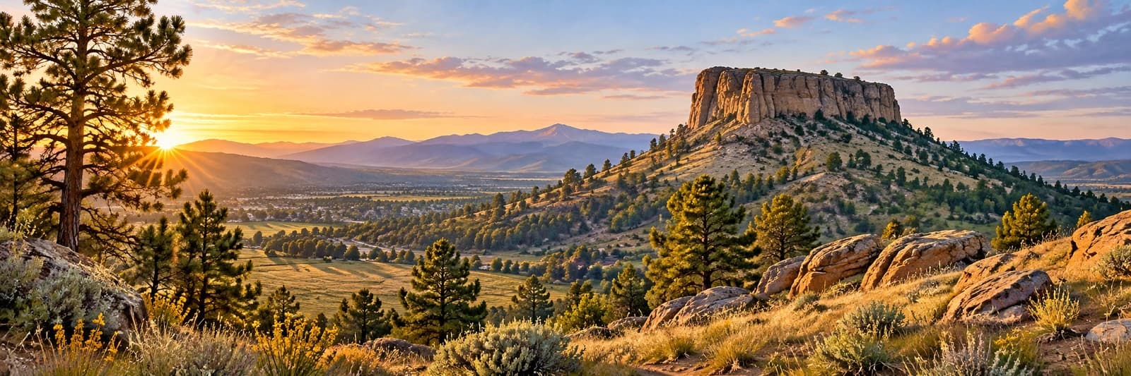
Image: Archival view of Castle Rock’s namesake butte, photographed April 11, 2010; not a report of present trail conditions.
A short distance on a map can conceal a demanding walk. Castle Rock’s official Rock Park map lists 1.6 miles of unpaved trails and rates the system difficult, with a 370-foot elevation difference. The route offers a close encounter with the town’s namesake, but it deserves more preparation than a casual neighborhood stroll.
The town describes looped, single-track trails leading to the base of The Rock, with views across downtown and the Front Range. It warns of steep, uneven terrain and possible falling rocks or rockslides. Bicycles are prohibited. This description should not be read as an invitation to scramble onto the rock formation’s top.
Sponsored
The main trailhead is at 1470 Front Street, where the map identifies parking and a portable restroom; additional parking is available at Castle North Park. Check the town’s current trail-condition notices before leaving and follow closures or posted instructions on arrival. An archival photograph cannot establish whether a route is dry, icy or open today.
Plan the return as carefully as the climb, choose footwear for uneven ground and leave yourself enough daylight. A group can decide in advance that turning back is an acceptable outcome. The landmark will still be there for another visit, and a shorter outing can be worthwhile without reaching every viewpoint.
Sources and visit details
Photo: Jeff Albright / Wikimedia Commons. CC BY-SA 3.0. Resized and converted to WebP; the site wordmark may be added in display.




Discuss this news
Your draft stays here while you sign in. Be respectful and keep it local.
No comments yet.